Safe & Fast APK Downloads on APKPure
APKPure uses signature verification to ensure virus-free MapSwipe APK downloads for you.
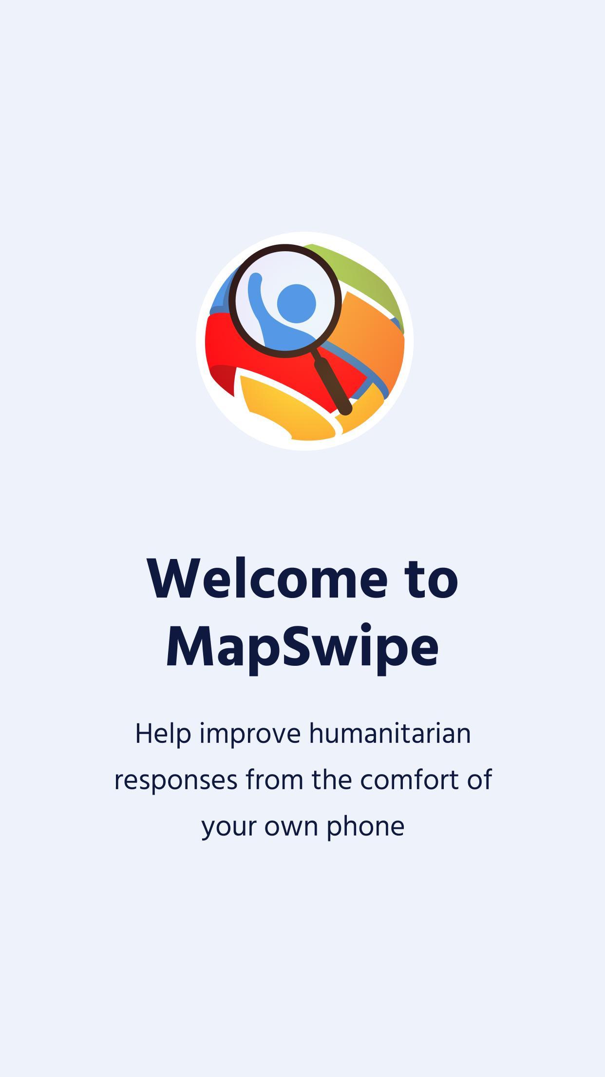
Help improve humanitarian responses worldwide from the comfort of your own phone
Humanitarian organizations can't help people if they can't find them. MapSwipe is a mobile app that lets you search satellite imagery to help put the world's most vulnerable people on the map.
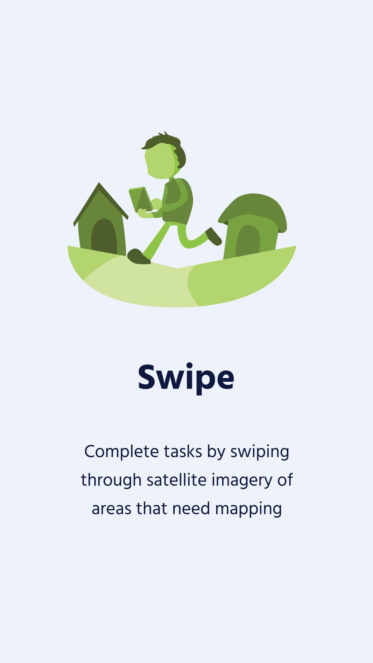
In MapSwipe, developed in collaboration with the Missing Maps project, users choose a crisis prone part of the world they want to help, such as spotting villages at risk from a cholera outbreak in the Democratic Republic of Congo. They must then swipe through satellite images of the region, tapping the screen when they see features they’re looking for including settlements, roads and rivers.
This information is fed back to mappers who need this information to build detailed and useful maps. At present, they have to spend days scrolling through thousands of images of uninhabited forest or scrubland looking for communities that need mapping. Now, members of the public can directly contribute to MSF’s medical activities by locating people in need more quickly so mappers, and ultimately medical professionals on the ground, can get straight to work.


One-click to install XAPK/APK files on Android!
Thanks for your rating and feedback!
You have already rated.